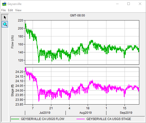
If the quality color bar or thumbnail plot for a location indicates that the data is questionable or bad, viewing the data in a plot can help you to determine the nature of the problem. To access plots for data:
- From the Map Window, right-click a time series icon, from the shortcut menu, click Plot.
- This opens a two-dimensional plot(s) (Figure 1) that contains the data for that location for the current time window. Figure 1 shows sample plots for both flow and stage gages. Use the Zoom Tool to zoom in on a specific portion of the plot. See Map Window for a more detailed description of the Zoom Tool. In addition, a more detailed description on the plots can be found in Viewing HEC-RTS Data and Results.
