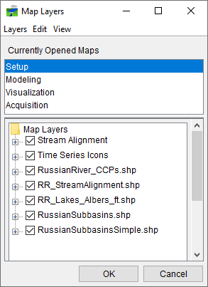
Primary Layers are created when a watershed is created (Time Series Icons layer); when a stream alignment is created (Stream Alignment layer); when a grid set is created (Gridded Data layer); and, when forecast alternatives and forecasts are created (Model Schematic layer). Primary layers are present in all HEC-RTS watersheds (although some layers may be empty in some watersheds) and are foundational to HEC-RTS (whereas map layers are optional, see Map Layers). This chapter describes how primary layers are configured and managed. The primary layers display in the Map Layers dialog (Figure 1) and are usually listed at the top of the Layer Tree (Understanding Layers contains further information on the Map Layers dialog).
