The display coordinate converter is selected in the Properties. The coordinate converter selection is described below.
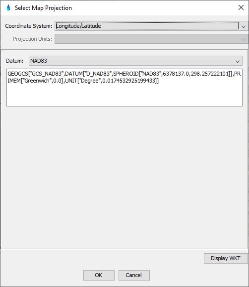
Longitude/Latitude Coordinate Converter
This coordinate system creates a view where 1 degree longitude is equal to 1 degree latitude. This will give an acceptable view when the area being displayed is close to the equator. As the viewed region approaches the poles, the display will become increasingly distorted. However, this is the fastest projection to draw on a Map Window, as it minimize coordinate conversion computations when displaying maps and data.
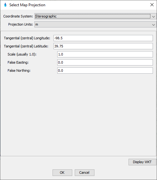
Stereographic Coordinate Converter
This is a common coordinate system when displaying weather maps. This coordinate system is defined by a tangent point, scale, false easting and false northing. The tangent point is an imaginary point on the earth where the flat projection pane touches to create the view of the world. For the U.S., a typical tangent point is [-98.5, 39.75]. The false easting and northing have minimal impact on display, but may affect the Tracking the Mouse Cursor. The scale is defaults to 1.0, which generally should not be changed. Due to the complexity of the computations, diplaying data in Stereographic projection is generally slower than other projections.
Limited Fine Mesh (LFM) Coordinate Converter
This coordinate system is common for data produced by the National Weather Service. It is a specific case of the stereographic projection, with variable grid size. The grid sizes used are defined as a fraction of an LFM grid, which can be specified in the figure below. For example NEXRAD grids use an LFM grid size of 40, meaning that they have measurement data at intervals of 1/40 of a standard LFM grid. This translates to a grid resolution of 4.7625 kmin both the X and Y directions.

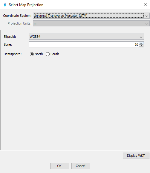
Universal Transverse Mercator (UTM) Coordinate Converter
The UTM coordinate system is a grid-based method of specifying locations on the surface of the Earth. The UTM system is not a single map projection, but relies on sixty zones, each of which is based on a specific transverse Mercator projection.
Albers Equal Area Coordinate Converter
This projection displays the image with the X and Y coordinates representing the best approximation of proportional area. In addition to this display setting for Map Windows, this is the same coordinate system that is also used in HEC-MetVue for all computations.

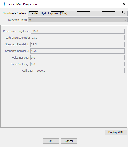
Standard Hydrologic Grid (SHG) Coordinate Converter
The projection used for the SHG is an Albers Equal Projection with pre-defined values for the Reference Longitude and Standard Parallels. The choice of whether or not to infer the coordinates from the data is ignored.
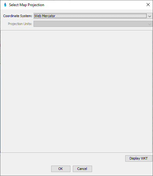
Web Mercator
Web Mercator is the projection used for internet mapping tiles. When viewing the Internet Map layer, using this coordinate system optimize the display.
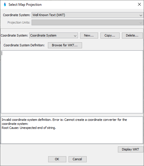
Well Known Text (WKT)
In order to support any commonly known coordinate system, the following option allows the specification of coordinate system based on a WKT. A WKT may either be pasted into the text area below, or the "Browse for WKT..." button brings up browser to a .prj file (text file containing WKT).