The Porosity and Flow Drag Layer is a new feature in HEC-RAS 6.6. It is used to specify surface classifications which are assigned porosity and flow drag parameters. The approach is similar to how the Manning's roughness coefficient is specified in HEC-RAS. A surface classification layer is created which can be a mix of raster and vector data. Each classification is then assigned specific porosity and flow drag parameters which are then interpolated onto the computational mesh cells and faces.
Create a new RAS Layer
The Porosity and Flow Drag Layer is created in RAS Mapper by right-clicking on Map layers and selecting the drop down Create a new RAS Layer | Porosity and Flow Drag Layer.

Import Classification Data or Create Empty Layer
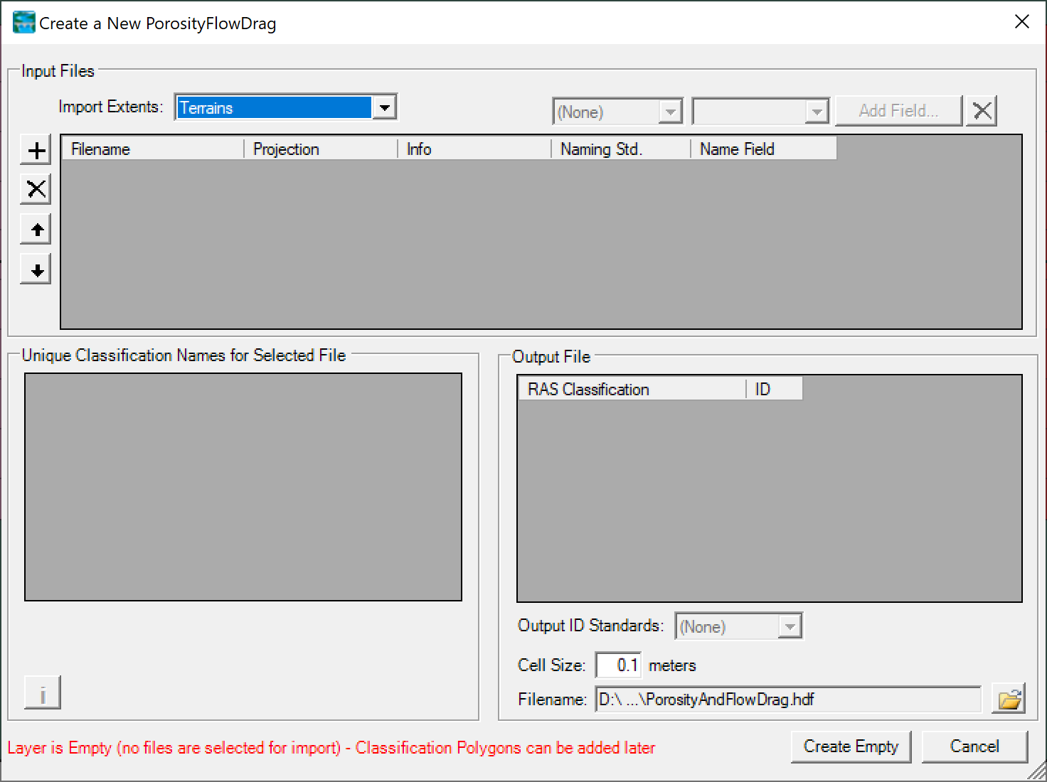
Once the import window opens, the user can select or modify the Import Extents, import raster or vector layers, change the priority of data sources, change the Unique Classification Names, select an output file cell size and name. The the example below, there are no data sources and an empty layer is created with a cell size of 0.1 m.
Manage Layer Associations
The next step is to associate the new RAS layer with existing RAS Geometries. The Manage Layer Associations window appears automatically whenever a new RAS Layer is created. The Porosity and Flow Drag Layer is associated to a geometry by select the layer in the drop down menu as shown in the figure below.

Create Classification Polygons
Once the Porosity and Flow Drag Layer has been associated with the correct geometries, the next step is to create any overriding Classification Polygons. The polygons are only necessary if no raster or vector data was imported, if the user wants to override any classifications, or to fill-in any regions not covered by the imported classifications. In the example above an empty layer was created, so Classification Polygons must be created to cover the entire geometry.
Enter the Porosity and Flow Drag Parameters
To enter the porosity and flow drag parameters for each surface classification, right-click on a Porosity and Flow Drag Layer in RAS Mapper and select Edit Land Cover Data Table as shown in the example below.

An example of porosity and flow drag layer parameters data table is shown below
