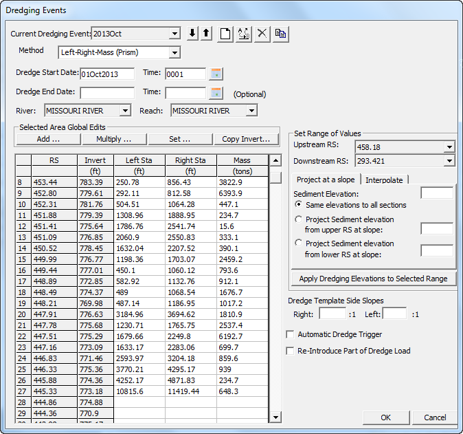
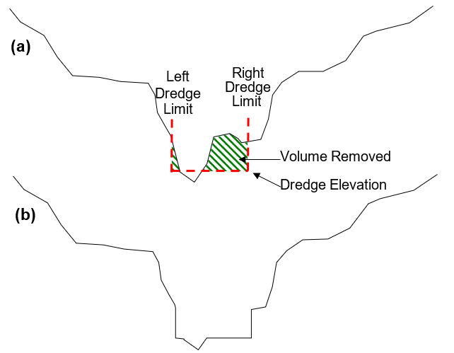
The elevation methods are generally for navigational dredging, where dredges remove sediment from the bed to a new bed elevation specified a priori. (See the Dredging Model in the Sample Data Sets). These methods superimpose a rectangular template on the cross section and remove all the material within.
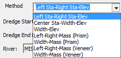
Three Elevation Methods, which define the Elevation and Lateral Extent of dredging. The Elevation Methods remove whatever sediment found in a spatial template. The Dredging Editor also includes four Mass Methods, methods that remove a prescribed mass from the cross section. The different methods take different approaches to translate the mass removal into cross section change.


The three elevation methods all remove sediment to the specified elevation but offer options for defining the horizontal dredging extents.
Left Sta–Right Sta–Elev: Input three parameters for each dredged cross section, including the left and right stations that bound the dredge template and the bottom elevation.
Center Station–Width–Elev: Sometimes dredging schedules are not defined in absolute cross section stations but width around a center station. In this method, define the center station of the dredge prism and the width.
Width–Elev: Computing the precise right and left dredge extent stations or the centerline can be time consuming and iterative in complex models with many alternatives. The Width-Elev method can expedite preliminary alternative analysis, requiring only the width and elevation of the dredge prism. HEC-RAS will then center it between the bank stations.