Download page Example of Georeferencing an HEC-RAS Model.
Example of Georeferencing an HEC-RAS Model
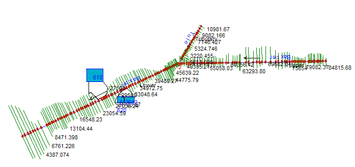
In this example the Baxter River dataset will be used demonstrate how to georeference an HEC-RAS model. Specifically, the River Network, Cross Sections, Storage Areas, and Storage Area connections, shown in Figure 5-102, will be georeferenced using methods in HEC-RAS and using the GIS. Figure 5102. A non-georeferenced model schematic.
To successfully georeference a RAS model, you decide on a coordinate system and have at least one background dataset that has been projected to that coordinate system. A digital raster graphic (DRG) of a topographic quad sheet, an aerial photograph, or a digital terrain model (DTM) may be available for reference.
Once the coordinate system has been defined and a background dataset acquired, you should establish the stream centerline first. Georeferencing the river network will assist you in spatially locating the cross sections.