Download page Inundation Mapping with HEC-RAS Mapper.
Inundation Mapping with HEC-RAS Mapper
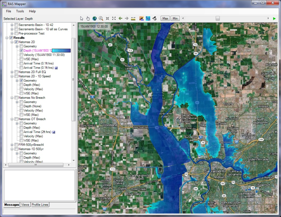
If you have a model that is georeferenced, and you have terrain data to cover the model extents, you can use HEC-RAS Mapper to perform inundation mapping for either steady flow or unsteady flow models. An example of an inundation map developed with HEC-RAS Mapper is shown below in Figure 8-38. For details on how to use HEC-RAS Mapper, please see the HEC-RAS Mapper User's Manual.
Figure 838. Example Inundation map from HEC-RAS Mapper.