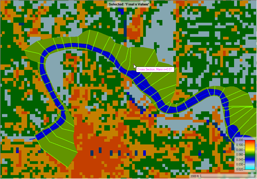
Roughness coefficients, represented by Manning's n Values, can be extracted for Cross Sections and 2D Flow Areas from a specified Land Cover layer. The Manning's n group layer will profile sub-layers for Calibration Regions and the result Final n Values raster used in the model. Base Manning's n Values and overrides should be specified on the Land Cover layer. Once finalized, the Land Cover layer is then associated with the Geometry. During model analysis and refinement, the Calibration Regions polygon layer can be used to modified specific areas in the model.
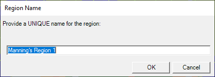
To add a Calibration Region, start Editing. Create the polygon of interest and provide an unique name (all calibration regions are unique).
The new region will be added to the Manning's n Values table and allow the user to specify how to treat the region. Entering a value for the new region ("Manning's n Region 1") will take precedence over those values in the Land Cover dataset ("ManningsN").
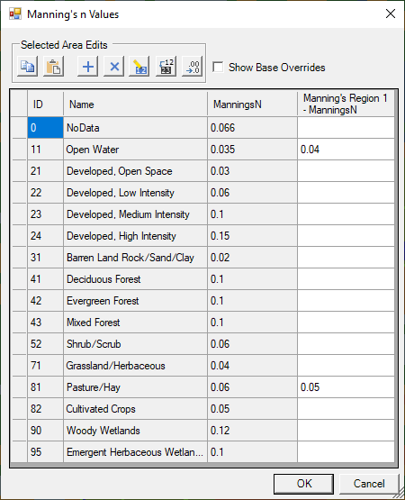
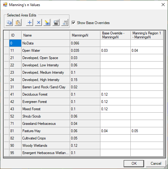
You can also override Manning's n Value data using the "Base Override". Base Override data replaces all instances specified in the base Land Cover dataset; however, Calibration Regions take precedence over the Base Override data (columns on the right are considered higher priority than those on the left).
Final n Values Layer
The Final n Values layer is used to visualize what the model is using. For 2D models, the layer will be the combination of the Land Cover layer (which has Classification Polygons) and the Calibration Regions. For models that have Cross Sections, the Final n Values layer will reflect the n values specified on the cross sections as well.