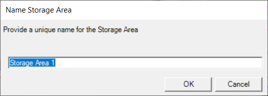
Storage areas are used in HEC-RAS to model areas with a horizontal water surface. Storage areas boundaries are identified using a polygon boundary. After creating a storage area, the user will be prompted for a unique name.
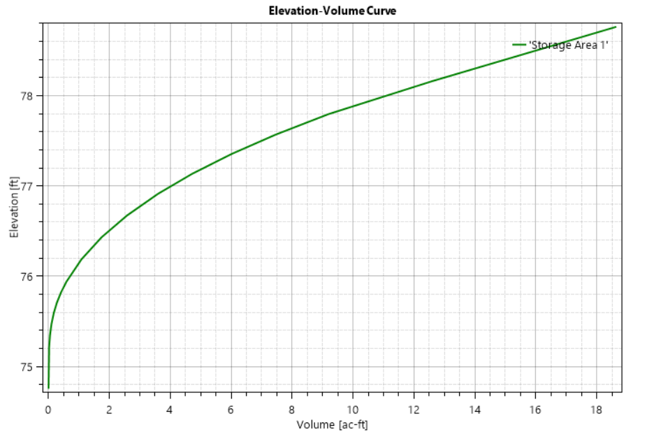
An elevation-volume curve will be computed from the associated RAS Terrain for use in the hydraulic computations.