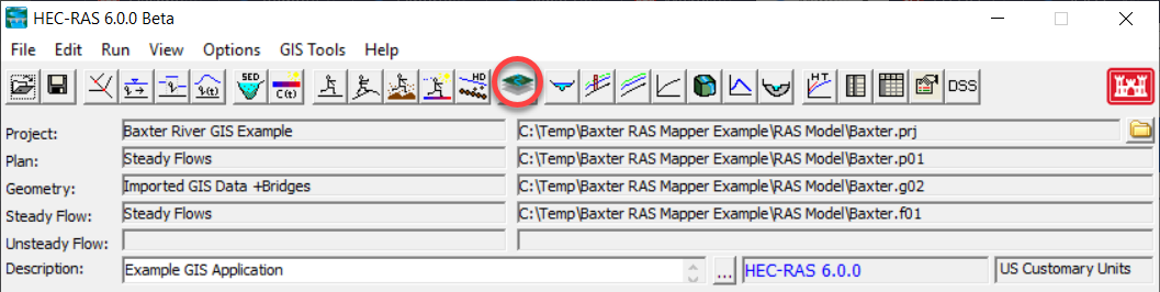
The HEC-RAS Mapper module is an interface accessed from the main HEC-RAS program and provides a geospatial visualization of HEC-RAS geometry, simulation results, and other pertinent geospatial data to assist users to efficiently create river hydraulic models. The HEC-RAS Mapper module is accessed using the GIS Tools | RAS Mapper menu item on the main HEC-RAS program interface or by pressing the  RAS Mapper button, shown below.
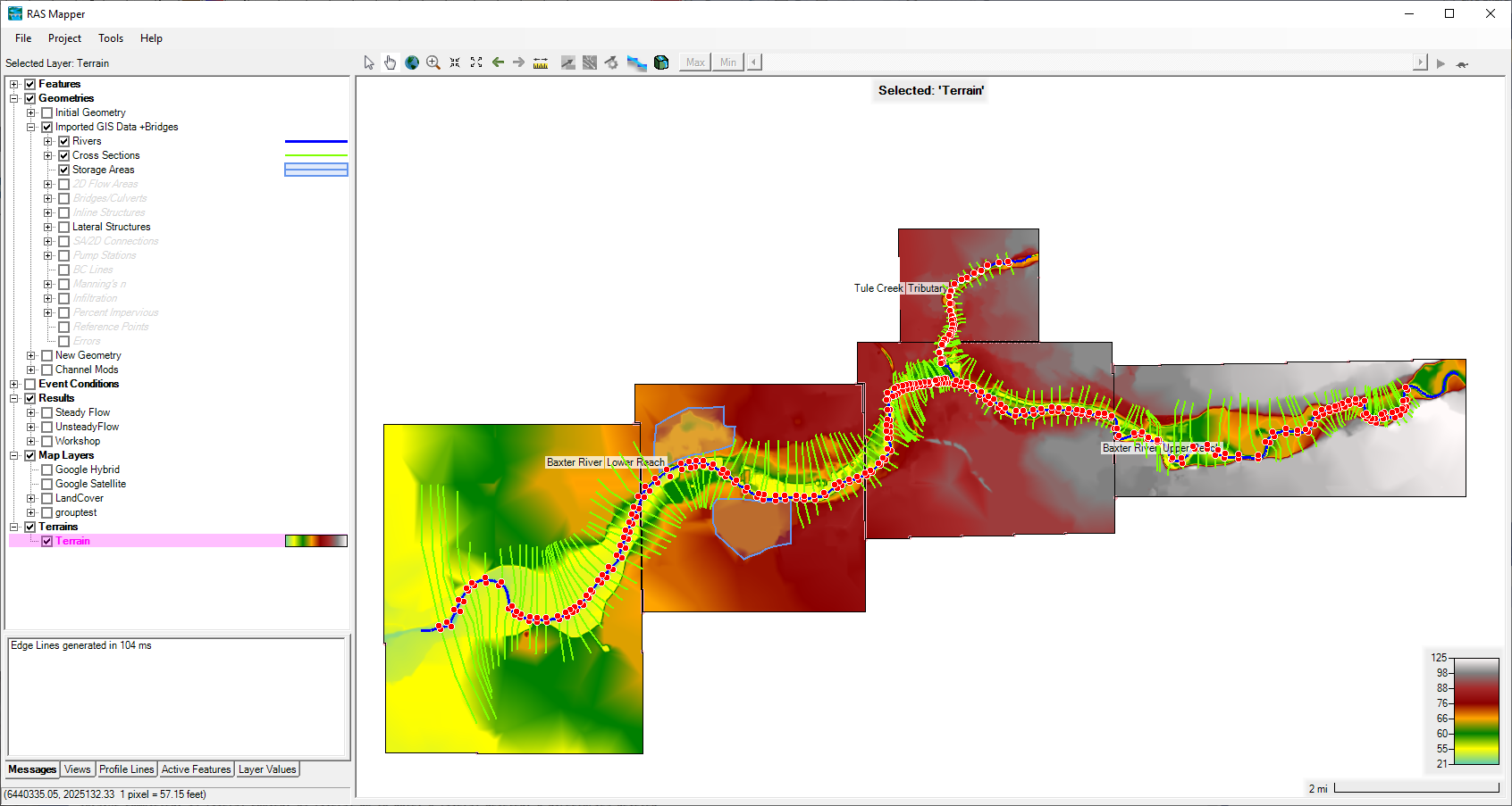
The RAS Mapper interface, shown below, is comprised of a menu system, data layers list, status window and the mapping window.