Download PDF
Download page Editing a Geometry.
Editing a Geometry
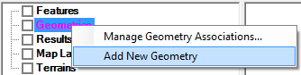
The first step to using developing geometric data is to create a new Geometry. This can be done in the Geometric Schematic, but can also be done in RAS Mapper with a Right-Click on the “Geometries” group and select the Add New Geometry menu item, as shown below. Provide a name for the geometry in the dialog provided.
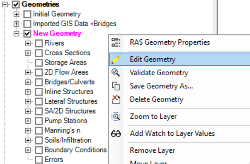
The new Geometry will be added to RAS Mapper. The RAS Layers used to create hydraulic elements will provided. To begin editing the Geometry layers, right-click on the Geometry Layer and select Edit Geometry as shown below. You will not be able to have the Geometry open for editing in RAS Mapper and have any editor open in the Geometric Data Editor - if an editor is open, it will be closed.
You cannot edit a Geometry in RAS Mapper while having an editor open in the Geometric Data Editor. When starting a new edit session in RAS Mapper, any editors open in the Geometric Data Editor will be closed.
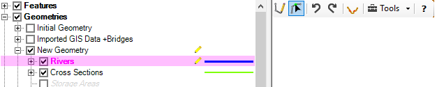
When a geometry is in an edit session, the  Edit icon will appear next to the geometry name. The Edit icon will also appear next to the currently selected layer – the Edit Layer – and the Edit Toolbar will be added to the Map Window, as shown in the figure below.
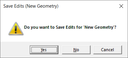
When finished editing, select the Stop Editing menu item (right-click on the layer) from either the Geometry group or the Edit Layer. The dialog shown below, will request confirmation to save edits.
Updating Geometry
When editing RAS Layers, you are really editing two distinct pieces of information. There is the geospatial component of the feature (where it is) and the then there is the properties of the hydraulic element (name or other value). RAS mapper is designed to automatically compute and extract the hydraulic properties for an hydraulic element based on it's previously established information (e.g. an elevation profile line for a cross section). The hydraulic properties are used for they hydraulic computations, so we have attempted to make editing information as "safe" as possible without making data interaction cumbersome. This may best be explained through an example. Let's use the example of a 1D model where you have updated the channel data for a cross section manually (the data is NOT in the Terrain Layer), but you modify the geospatial layout of the cross section. In this case, you don't want RAS Mapper to automatically update the ground surface elevations for the entire cross section.
When a feature is closed during editing, RAS Mapper may re-compute properties for the feature. Properties are always computed for NEW features. Features are considered "new" if the feature was newly constructed in the current edit session. Once you Stop Editing, the feature will be considered “old” and properties may not be automatically updated. For example, you have just started creating cross section lines. Each time you add a new cross section line, RAS Mapper will compute the elevation profile for that line. If you move the cross section during the same edit session, the elevation data will continue to get updated. However, if you Stop Editing the geometry and then Start Editing it later, you will have to manually have RAS Mapper update the elevation data.
Existing geometric information will not be automatically updated in HEC-RAS Mapper during an editing session unless the auto update properties have been enabled.
Automatic update of the RAS Geometry is controlled by the RAS Geometry Properties | Editor options accessible by right-click on the Geometry layer. Place a checkbox next to the individual items that you would like automatically recomputed as you adjust the corresponding geospatial data.
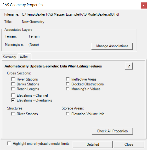
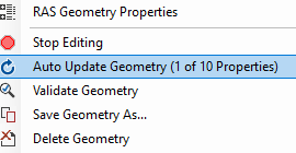
Access to the auto update options is also available by right-clicking on the Geometry layer and selecting the Auto Update Geometry option (the number of properties enabled with be listed).