Without Breach Scenario
Open the CAVI in Local mode and then open the MVS_Salt_MetVue watershed. From the Modeling tab, open the forecast named HEC-RAS Floodplain Mapping Scenario. The forecast contains a forecast run that has already been computed.
Open HEC-RAS and examine the maximum depth of inundation in the lower Salt River basin using r.
Take a screenshot of the "without breach" maximum inundation to include in the briefing slide (found inside of the CWMS_Class\database\Reports folder), making sure you focus in on Pike Grain Levee #4. Determine the range of depths within the Pike Grain Levee #4 leveed area for this scenario and indicate that information on the briefing slide as well. Remember, click on the Max button at the top of the screen to ensure you are viewing the maximum inundation depths when you have the Depth layer selected.
With Breach Scenario
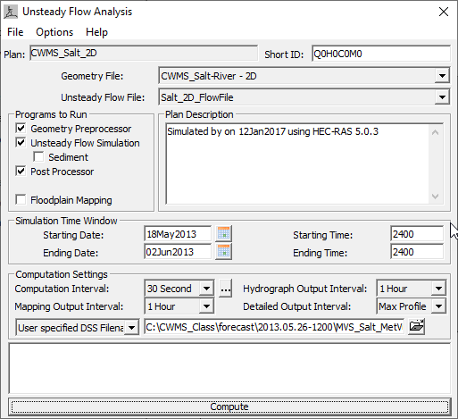
- Open the .

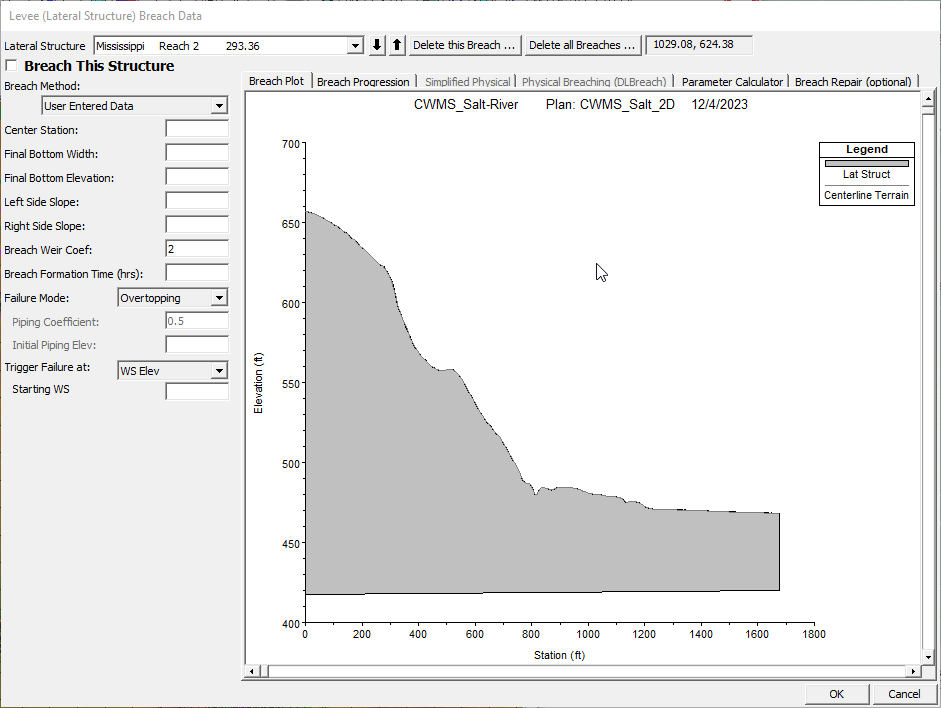
- From the Options menu, select the Levee (Lateral Structure) Breach option. This will open the Levee (Lateral Structure) Breach Data dialog, as shown below.

- Using the drop-down list, navigate to the lateral structure you intend to breach.
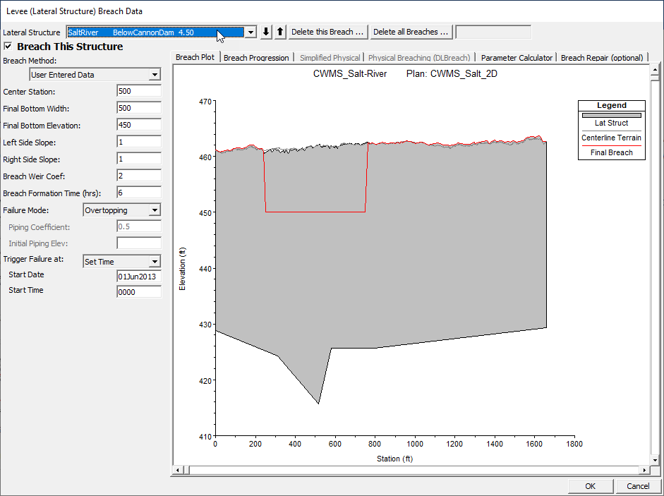
- In this scenario, you are looking for the SaltRiver BelowCannonDam 4.50 lateral structure. This is the section of the Pike Grain #4 Levee that the field engineers are most concerned about.
- Enter the breach information in the dialog as shown in the figure below. Ensure you check the box at the top of the window next to Breach This Structure before clicking OK to exit.

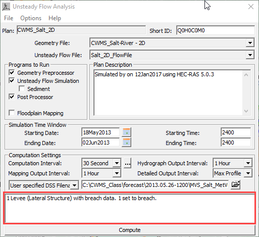
- You will now see some information in the message box at the bottom of the Unsteady Flow Analysis dialog that indicates our intent to breach one of the lateral stl.

- Save the plan data and click on the C.