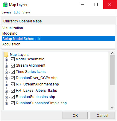
The appropriate properties editor (Figure 1) will display. For example, you have selected a map layer that is a polygon shapefile, the Edit Polygon Propertieseditor (Figure 1) will open. Here, you can specify the visual style for the layer and its labels. Properties dialogs vary depending on the type of layer you are editing.
