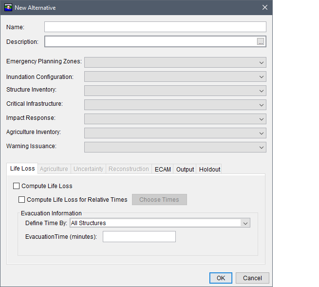
From the Inundation Configuration list, select an inundation configuration. By selecting an inundation configuration, the alternative now has knowledge of the watershed configuration (terrain grid, stream alignment, reservoirs, cross section geometry, storage areas, and/or common computations points), and the hydraulic information.