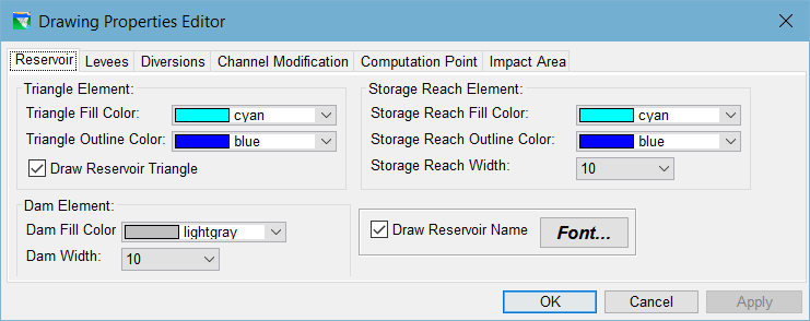
You can configure the appearance of Reservoirs, Levees, Diversions, and Computation Points in the Study Layer of your watershed using the Drawing Properties Editor ("Figure: Drawing Properties Editor").
Figure: Drawing Properties Editor
To access the Drawing Properties Editor:
Select Drawing Properties… from the Edit menu of the Watershed Setup module, or
Select Properties from the context menu of the Study layer in the Layer Selector.