This layer type is a vector representation of the data. When HEC-RTS interacts with a dlg file it automatically creates a dlgbin file for use.
To edit a USGS Digital Line Graph file:
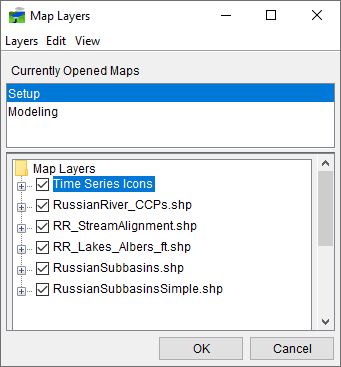
- From the Layer Tree (Map Layers dialog), right-click on a USGS Digital Line Graph file. From the shortcut menu, click Properties, or double-click on the USGS Digital Line Graph filename.
- The USGS Digital Line Graph Editor will open (Figure 1).

- Across the top of the dialog is displayed the location and name of the USGS Digital Line Graph file.
- You can control the appearance of nodes, line, and areas by selecting and clearing Draw Nodes, Draw Lines, and Draw Areas, respectively (Figure 1).
- You can also control the saturation and brightness level of the color you have selected by entering values in the Saturation or Brightness cells. Values entered for saturation or brightness must be between zero (0) and one (1).
- If you wish to save any changes, from the HEC-RTS main window, from the File menu, click Save Watershed. The color for a USGS digital line graph file is stored in the watershed file (*.wtshd).
To set scaling for a USGS Digital Line Graph:
- Click the Scale tab of the USGS Digital Line Graph Editor (Figure 2).

- Both zoom-in and zoom-out scale factors can be set. By default the digital line graph layer is set for Always show layer. To set visualization scales click Only show layer in the following scale range.
- To set the scale so that the digital line graph layer becomes visible as you zoom-in, you can set the scale to the current scale by clicking Set to Current. If you wish to enter a value, from the Only visible below 1: cell enter the scale factor.
- To set the scale so that the digital line graph layer becomes visible as you zoom-out, you can set the scale to the current scale by clicking Set to Current. If you wish to enter a value, from the Only visible above 1: cell enter the scale factor.
- Click OK, the USGS Digital Line Graph Editor will close (Figure 2), and the visualization scale is set for the digital line graph layer.
- Click OK, the Map Layers dialog closes.