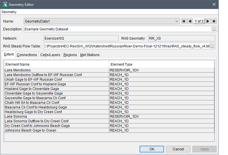
The Geometry Editor (Geometry Editor – Completed Example) allows users to define the geographic extent of the ResSim network to be included in the water quality model. The editor also provides the ability to select an HEC-RAS geometry shapefile and steady flow model output file when creating a water quality geometry dataset, particularly if a river reach is involved. The HEC-RAS geometry shapefile is crucial for establishing water quality cells. By default, river reach water quality cells are predefined using HEC-RAS hydraulic cross-sections. The following sections outline the components of the Geometry Editor and provide detailed instructions for creating a water quality geometry dataset.