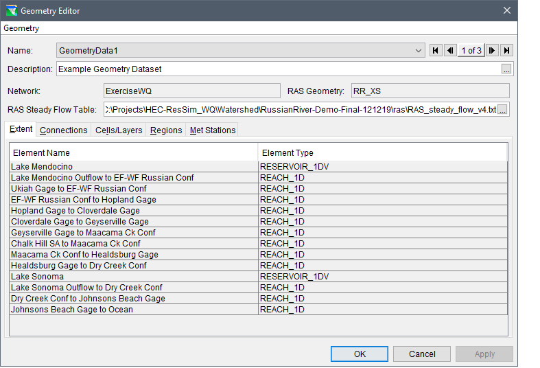
The Geometry Editor (Figure 4.2) enables the user to identify the geographic extent of the HEC-ResSim network to include in the water quality model. The editor also requires the user to select an HEC-RAS geometry shapefile and steady flow model output file when creating the geometry dataset. The HEC-RAS geometry shapefile is used to establish the water quality cells, by default a single cell is configured between HEC-RAS cross-sections. The following sections describe the components of the Geometry Editor (Figure 4.2) and instructions for creating a geometry dataset.
Figure 4.2 – Geometry Editor – Completed Example
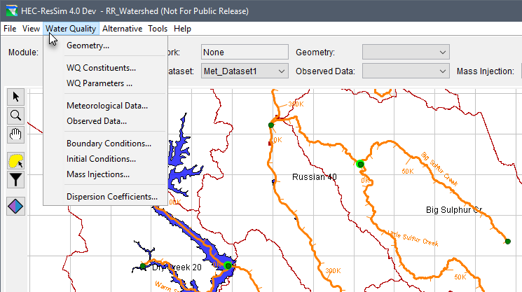
To open the Geometry Editor (Figure 4.2), from the HEC-ResSim main window (Figure 4.1), from the Water Quality module (Figure 4.3), from the Water Quality menu (Figure 4.3), click Geometry. The Geometry Editor opens (Figure 4.4).
Figure 4.3 – Water Quality Module – Water Quality Menu – Geometry Command