HEC-FIA
HEC-FIA can be used to assess structural and nonstructural changes within a floodplain. The software is designed to be scalable; if users do not have high resolution data, HEC-FIA can support the user through accessing national datasets for inputs like structures and agriculture. If the user determines that more detail is needed, it is simple for the user to incorporate higher resolution input data to replace the low resolution input data. The output from HEC-FIA can support decision-making processes to ensure that the projects do not present unacceptable risks to the environment, public, and property.
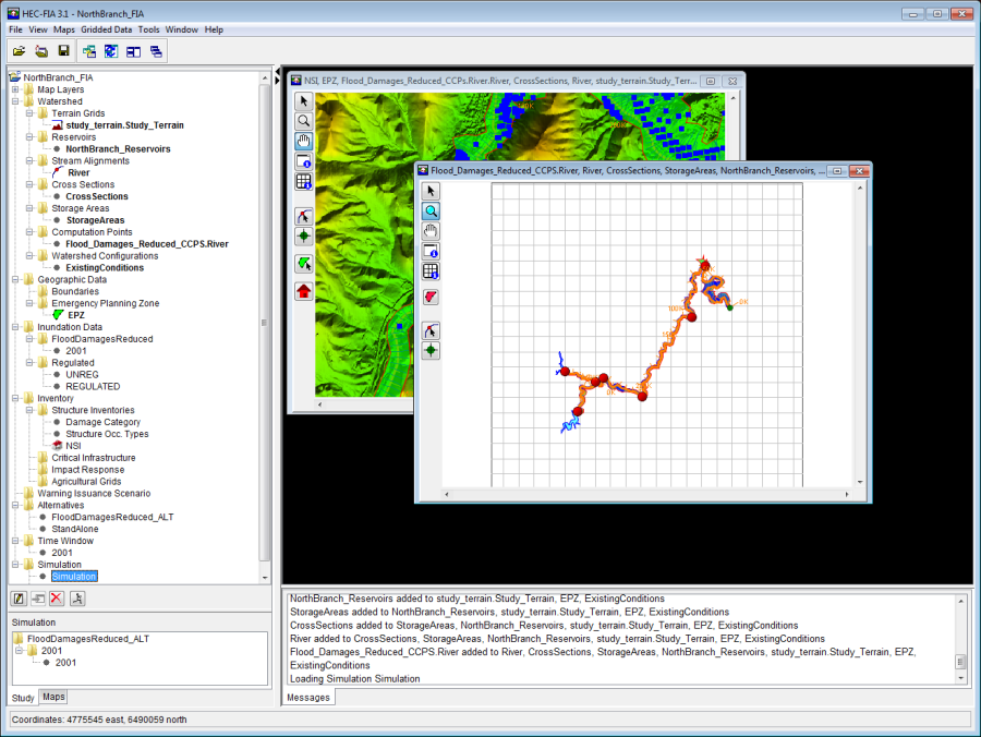
Figure: HEC-FIA Project
HEC-FIA supports several USACE missions:
- Dam and Levee Safety – HEC-FIA supports this mission by providing estimates for consequences from single events which can represent dam failure, levee failure, or exceedance of existing infrastructure. The software is utilized to provide information that can be used to assist in screening level decisions at lower resolution and accuracy, all the way through detailed assessments to support a decision document.
- Water Management – HEC-FIA can be utilized for evaluating real time consequence estimates to support decisions regarding actions taken during flood operations for a system of existing projects, and create estimates to support after-action reporting for a historic event. Additionally, HEC-FIA can be used to calculate the food damages reduced by levee projects and reservoir operations.
- Planning – HEC-FIA is available to assist planners in evaluating consequences such as life loss estimation, agricultural damages, and indirect production and job losses. HEC-FIA can be utilized within HEC-WAT (HEC's Watershed Analysis Tool) with the Flood Risk Analysis (FRA) compute option to evaluate the full range of hydrologic, hydraulic, geotechnical, and economic uncertainties to assist planners in evaluating the aforementioned consequences and to evaluate a standard benefit within uncertainty through the evaluation of alternatives much like HEC-FDA (HEC's Flood Damage Reduction Analysis software).
Identifying a Study
The first step of any HEC-FIA study (i.e., reconnaissance, or feasibility) is the definition of the study extent. A study extent is typically represented by a polygon of the area that has the possibility of getting wet when a large event is being assessed. The Project Delivery Team (PDT), under the direction of a Project Manager (PM), should start the process of defining the study area by meeting to acquaint themselves with the type (i.e., reconnaissance, feasibility, watershed, restoration) and location of the study to be conducted.
The PDT evaluates existing data; identifies data which needs to be gathered, and selects or builds the hydrology and hydraulics models needed to provide simulation results. This determination allows the PDT to make a rough estimate of the study extent and various other data elements such as the stream alignment which may be defined within some geospatial mapping product. With a map in hand, the PM should lead the PDT to choose the study boundaries, identifying gage locations, subbasin delineations, emergency planning zones (formerly defined as impact areas in HEC-FIA Version 3.0), and location of projects (i.e., reservoirs, levees).
Creating a Project
After the PDT has identified the study area, an HEC-FIA project can be created. A project in HEC-FIA is a combination of the input data describing a geographic location and hydraulic events which describe the flood hazard. The first step is to define a watershed configuration, which is a physical representation of the watershed (for example, the Without Project Condition). A watershed configuration can also be an alternative that changes physical or structural elements in the study area (for example adding a levee).
A watershed configuration consists of a terrain grid, reservoirs, stream alignment, cross sections, related one-dimensional storage areas (two-dimensional storage areas from HEC-RAS are handled through gridded data, not watershed elements), and a set of common computation points. Not all elements of the watershed are required for HEC-FIA to compute hydraulic information at a location, but there are minimum requirements dependent upon the desired methodology to evaluate hydraulic information at an independent location. For example, if a user is defining the hydraulic events using gridded data, the grids describing the event (in terms of depth, duration, depth times velocity and arrival time) are sufficient to describe how the watershed responds to a given event, and therefore the only watershed element required is a terrain grid.
Each watershed configuration can be representative of different structural alternatives. For example, to evaluate a proposed project, alternatives from a with project watershed configuration and a without project watershed configuration would be required to evaluate a net benefit for the specific event. For a detailed description of the necessary input, refer to the HEC-FIA Technical Guide (Chapter 3).
Geographic data describes discrete parts of the study area. Boundaries allow the user to report information in the study area by specific areas. Emergency planning zones (formerly known as impact areas in HEC-FIA version 3.0) are used in the life loss computations to define the geographic extent and type of warning system and mobilization relationship to be used within the study area.
Computing consequences in an HEC-FIA project requires inundation data. Inundation data provides a pattern for HEC-FIA simulations, through defining the source and type of hydraulic information at any point in the study area. Inundation data can be in the form of grids, which define an event, representing the maximum depth at each grid cell and the arrival time of the non-evacuation depth (recorded in decimal hours from the start time of the simulation). Alternatively, inundation data can be provided as a HEC-DSS file that contains stage hydrographs at cross sections and storage areas throughout the study area. In this case, the cross sections and storage areas define the geographic locations of the stage hydrographs. The inundation data configurations define the structure and data available to define hydraulic parameters throughout the watershed. The final step is to create an event for each inundation configuration which represents the specific characteristic of the flood in question at all locations within the watershed.
A structure inventory is required to estimate direct economic damages for a flood event. To estimate life loss for an event, the structure inventory must be supplied with a population estimate at each structure. Damage categories are the first aggregation level for structures in the inventory. These damage categories represent a high level grouping for structures. They are used in the Economic Consequence Assessment Model (ECAM) process to determine population and capital impacted for each event. Structure occupancy types are the next level of aggregation for structures in HEC-FIA, and these are imperative for any consequence calculation. The occupancy types describe depth-damage relationships, life loss parameters, general information about the structures, and contain information about uncertainty computations associated with the structure inventory. Each structure is required to have an occupancy type and damage category.
Other optional input data elements for an HEC-FIA project include critical infrastructure, definitions of impact response tables, agriculture data, and the definition of warning issuance scenarios. These additional input data elements are defined in this User's Manual.
An alternative in HEC-FIA is combination of inundation data, emergency planning zone (geographic data), and structure inventory; and can also include critical infrastructure, impact response, warning issuance, or an agriculture inventory. Not all alternative elements are required for an HEC-FIA compute, but there are minimum requirements dependent upon the desired methodology to evaluate the flood impact analysis. Once an alternative is defined, then a time window needs to be created. The time window defines the start and end times for a simulation. Each HEC-FIA simulation is defined by the combination of the specified alternative, hydraulic event, and time window.