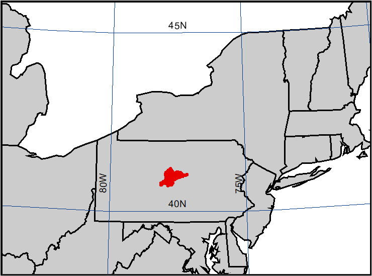
This workshop develops the Probable Maximum Flood (PMF) using a simple HEC-HMS model of the Foster Joseph Sayers Dam watershed in Centre County, Pennsylvania, along with information from the Sayers Dam reservoir regulation manual and historic event gage data. The reservoir regulation manual for Sayers dam includes the original Spillway Design Flood (SDF), but this design event did not use the most recent Hydrometeorological Report (HMR 52) to develop the Probable Maximum Precipitation (PMP) and it is not clear how the flood hydrograph was computed. Consequently, use of the SDF does not allow the modeler to complete a sensitivity analysis of the hydrologic processes and assumptions associated with the PMF. Therefore, reuse of the SDF contained in the reservoir regulation manual is not appropriate.
Ideally, the PMF event would be developed using a precipitation-runoff model calibrated to the historic event with the highest peak magnitude of record and driven with the most recent Hydrometeorological PMP depths. However, given the limited time required to complete a Periodic Assessment, only a simple precipitation-runoff model of the watershed can be completed for this study. Adequate time for model calibration and validation are not available and many conservative assumptions will need to be made. Conservative assumptions are appropriate during the Periodic Assessment given the high level of uncertainty regarding many of the components in the hydrologic analysis. If a dam was found to be hydrologically deficient during the Periodic Assessment, a more detailed study would follow where conservative assumptions are no longer necessary or required due to additional analysis and data. All assumptions made when estimating the PMF should be documented to aid in scoping any future analysis if warranted.
The Sayers Dam reservoir regulation manual only provided a hydrograph for the 1972 flood event, and no unit hydrograph for the watershed is available. The 1972 flood event is the largest flood in recent memory and the starting point for this workshop. In this workshop, the watershed upstream of Sayers Dam will be treated as a single watershed. This approach should be adequate for a Periodic Assessment and could be applied to many dams with a relatively small upstream area (less than 1,000 square miles) that do not include upstream water control structures.
In addition to using the 1972 flood event from the reservoir regulation manual, several other historic events observed at a U.S. Geological Survey (USGS) gage will be used to develop unit hydrographs. The unit hydrographs developed for these historic events will be compared and guidance will be provided on how to determine the most conservative unit hydrograph to use in the PMF analysis.
Tasks
- Use historic flows at a USGS gage and existing information in a reservoir regulation manual to develop the reservoir inflow Probable Maximum Flood (PMF).
- Develop a simple precipitation-runoff HEC-HMS model where the watershed area above the dam is modeled as a single subbasin.
- Use a synthetic unit hydrograph method (e.g., Clark) to develop a basin unit hydrograph.
Optional Tasks
- Use the S-graph method to develop a basin unit hydrograph and demonstrate when S-graph method is applicable.
Background
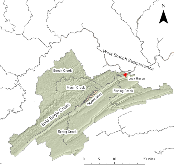
Foster Joseph Sayers Dam is located on Bald Eagle Creek in Centre County, PA. Sayers dam is about 14 miles upstream of the confluence of Bald Eagle Creek and the West Branch Susquehanna River at Lock Haven, PA. The drainage area upstream of Sayers dam is approximately 339 square miles, while the drainage area at the confluence with the West Branch Susquehanna is approximately 781 square miles. The primary purpose of Sayers Dam was to provide flood control for the downstream reach of Bald Eagle Creek and West Branch Susquehanna River. Sayers Dam was completed in 1969 and consists of a rolled earth-fill embankment about 6,835 feet long with a top width of 25 feet. The maximum height of the dam is 100 feet above the stream bed at elevation 683 feet.


Continue to Data Compilation.