Creating a Survey
Overview
The National Structure Inventory (NSI) Survey Tool is designed to collect information on structures through user input. The input is intended to serve as the basis of quality assurance and quality control for the NSI and to help improve the dataset with time by providing evidence to support the refinement of assumptions for various attributes in the NSI.
The tool operates off of locations (x and y values) that correspond with current NSI locations. The Survey Tool allows for structures to be specified as a control group that all surveyors (users) of the tool must input. These control surveys help to evaluate bias in surveyors.
Creating a Sample List
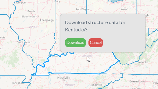
Creating a new NSI Survey Tool first requires that you download the NSI. State level GeoPackages can be downloaded using the NSI Download page and a GeoJSONs may be downloaded using the NSI API.
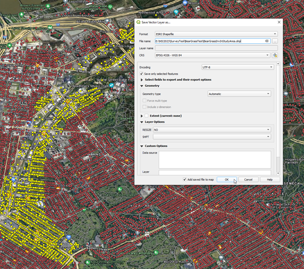
Depending on how the data was downloaded, you may need to filter the structures to only include those within your study area. The below example highlights a group of structures within a potential study area and assumes we are equally interested in all structures within this area.
The selected structures can be exported to their own file for future use.
Once you have the list of structures within your study area, you will likely wish to randomly select structures to survey. There are several thousand structures within this example's study area, but only a few hundred may be necessary to obtain a sufficient sample size. This determination will vary with the survey's purpose and the distribution of attributes within your study area.

One method of randomly selecting your inventory is using the rand function in excel for every structure in your study area, paste the random numbers as values, and then sort the list from lowest to highest. If you estimate you need 400 structures for your sample size, then its recommended that you take at least the first 400 structures. However, it's likely you may need more (either because of invalid structures, or due to greater uncertainty than assumed); so it is recommended that or you select more than structures than you estimate necessary (although more can be added later within the tool).
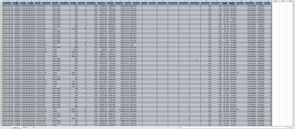
Once you've developed your structure list, it is recommended you make a copy and then delete all fields other than "fd_id". This field will tell the survey tool which structures you wish to survey and in what order. You may also add a field titled "control". By entering a value of "1" in this field, every surveyor working on your survey will be required to survey this structure. By entering a value of "0", the structure will only be surveyed once; after the first surveyor saves their observation for the structure future surveyors will skip this structure in the list and proceed to the next "1" marked structure or unobserved "0" marked structure. The advantage of marking a structure with "1" and making it a "control" structure is that you can compare the observations of multiple surveyors. This can be useful for training purposes and for detecting and correcting biases between surveyors.

Once you've narrowed your file to the two discussed fields, you must save the file to a CSV so that it can be imported into the survey tool.

Launching the Survey
The remaining steps take place within the NSI Survey Tool. To use the tool you must first log-in. Click the link to log-in with your CAC and enter your pin.

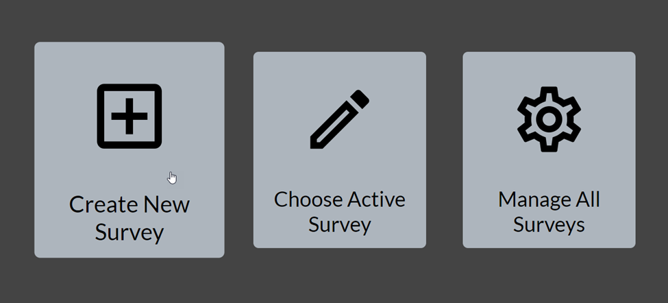
Once inside the tool, you can select the option to create a new survey.
Give the survey tool a name and description that would allow you to distinguish your survey from other available surveys in the future. Click next.

Then drag and drop your csv file containing your survey list into the tool and click next.

You will be listed as the survey's "Owner" this allows you to invite additional surveyors, which you can also designate as owners who would then have the same permissions. You can only invite those that have previously logged into the tool, so if you don't see the surveyor you would like to add, ask them to log-in to the tool first. Click finish to create the survey.

Conducting the Survey
You can now click "Choose Active Survey" to conduct your survey.
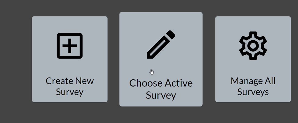
You will see all surveys in which you are an owner or surveyor. Click the ID of the relevant survey to begin.

You must click "Get Survey" to iterate through your survey list.

See the Attribute Guide for detailed recommendations on how to fill out the survey. However, most surveyors will likely wish to view the assign structure in Google Maps and Street View in order to observe the structure.

Street View and 3D mode will allow you to observe many of the structure's attributes.

Record the observable attributes within the survey. If the surveyed structure is invalid or not viewable within Street View, mark the associated box, you can filter out these records later.

Save your observation to upload your values to the NSI Survey Tool's database. Click Get Structure again to be taken to the next strucutre.

Managing the Survey and Downloading Data
At any point, you may return to the splash screen in order to manage the survey.

This portal allows you download your saved data, add additional surveyors, view the survey list, and upload additional structures.

After you download your results, you may use them to inform your structure inventory. For example, you can join the survey data to your inventory and replace the NSI's default values with those you observed. Or you may you use the mean and standard deviations of your results to inform uncertainty peramaters within your consequence model.
