HEC RAS Mapper has several options for bringing in other data layers/formats to be used as background maps below the computed results. For example, the following file formats are supported: web imagery; ESRI Shapefiles; VRT (Virtual Raster) files; GML (Geospatial Markup Language) files; and many other file formats (115 file formats are currently supported). The GML file type supported is the "Simple Features version 3" format.
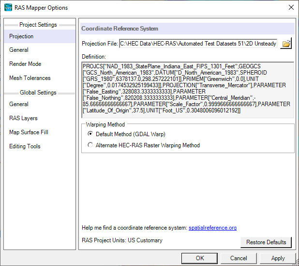
To use the Web imagery capability, first set the spatial reference system for the project. Select the Project | Set Projection menu item from the RAS Mapper menu bar. When this option is selected the window shown in Figure 6-23 will appear.

To set the spatial reference system (coordinate system), browse and select an existing ".prj" file (ESRI projection file) that contains the correct coordinate system. If ArcGIS 10 or lower is installed the user can browse to the ArcGIS directory that contains a listing of all the available coordinate systems and select the appropriate one. The default directory path where ArcGIS 10 or earlier stores a listing of all the available coordinate systems is listed in the "Projection File" text box, shown in Figure 6-23. For this example, "NAD 1983 State Plane Indiana East" was selected.
Web Imagery:
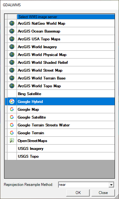
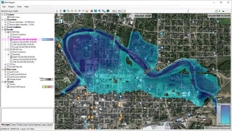
Once the correct coordinate system is set in RAS Mapper, the Web Imagery option can be used by selecting it from the Tools menu (or right click on Map Layers and select Add Web Imagery Layer). When this option is selected, a window will appear with the list of available web services for downloading web based imagery and map layers (Figure 6-24). Select one of the available options and press the OK button. When a web service is selected, RAS Mapper will send the limits of the currently viewed area to that server and request the imagery/map data. Once the data is received it is displayed on the screen. This data is not saved to the hard disk. It is only for real-time display of the imagery and map layers. When using this option, every time the user zooms in or out, or pans, it makes a new request for the data, receives it, and then displays it. See an example of Web imagery used as a background layer in Figure 6-25.


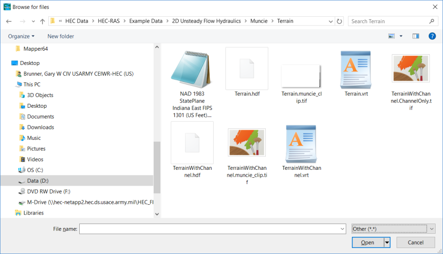
As mentioned previously, in addition to web imagery, RAS Mapper supports many different file formats for displaying map layers. Some of the more popular formats are: ESRI Shapefiles; GeoTIFF; MrSID; JPEG; Arc/Info Grids; Bitmaps; NetCDF; USGS ASCII DEM; etc… To use this option, right click on Map Layers, then select the Map Data Layers/Add Existing Layer option. The file browser window will appear, allowing the user to navigate to the desired file and select it. See Figure 6-26 below:
