To add an Internet map to an HEC-RTS watershed, the user must have Internet connection.
-
-
-
- From the HEC-RTS main window (Figure 5.1), from the Maps menu, point to Add Internet Map (Figure 5.12). From the submenu there are seven option from which the user can choose.
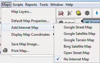
Figure 5.12 Maps Menu - Add Internet Map
-
-
-
- Normally, a Google Terrain Map is best for a larger (zoomed-out) view of the watershed. When zoomed-in on the watershed, the Goggle Satellite Map (Figure 5.13) is often best.
-
-
-
- Depending on where location of the watershed, the selected map might be fuzzy if the coordinate system is not the same as the background map. Usually, the Internet map and watershed coordinate systems are different (Internet maps use a variation of UTM). Since background maps are solid, translating pixels to a different coordinate system can misalign them slightly or cause a slight distortion. This is truer for the edges of the United States continent, than in the middle areas. From the Maps menu (Figure 5.12), point to Display Map Coordinates, click Internet, the fuzziness will be corrected in the display. Be aware that certain setup items in HEC-RTS will not work when the display map coordinates are set to Internet, use this option only when displaying the watershed for meetings.
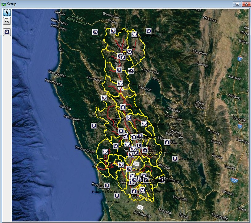
Figure 5.13 Watershed Projection on Top of Satellite Map