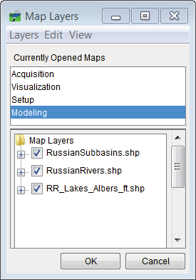
HEC-RTS is able to load Google® and Bing® maps from the Internet, these background maps are very helpfully when viewing and describing the watershed during meetings. Alternatively, geo-referenced images (e.g., .MrSid) can be added so that a background map will still display when Internet connectivity is not available.