Time Series Data
The HEC-RTS interface provides several option for directly importing data from the HEC- DSSVue tool. From the HEC-RTS main window (Figure 3.5), from the Main Toolbar, click ![]() . The HEC-DSSVue application is opened (Figure 10.1).
. The HEC-DSSVue application is opened (Figure 10.1).
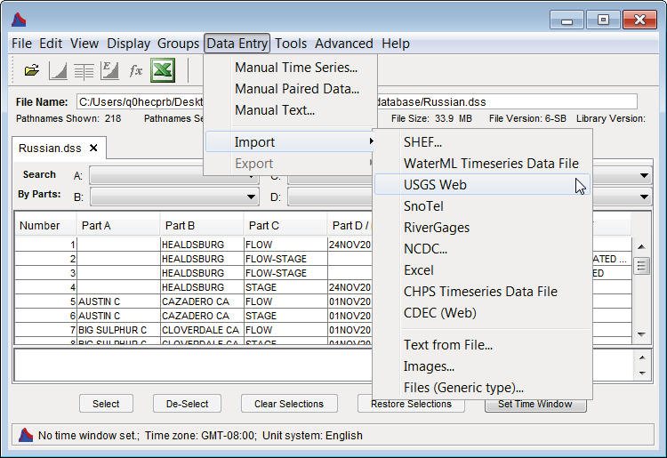
Figure 10.1 HEC-DSSVue – Data Entry Menu – Import Submenu
For example, to import data from the USGS (U.S. Geological Survey), from the HEC-DSSVue main window (Figure 10.1), from the Data Entry menu, point to Import, click USGS Web, the USGS Download dialog box will open (Figure 10.2).
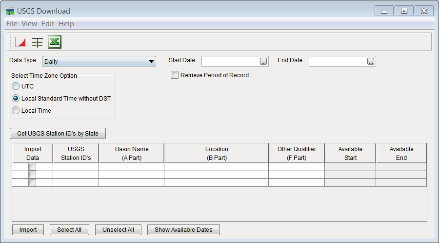
Figure 10.2 USGS Download Dialog Box
For "Real-Time" data, the list of stations is obtained, and then those within the basin are selected (Import Data check box). Verify that the selected stations are correct and have the data that is needed. From the File menu (Figure 10.3), select Save Selected Stations, giving the list a name based on the watershed that is being analyzed (Figure 10.3). A file is automatically saved to the RTS database folder that contains the selected gages.
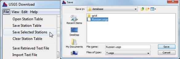
Figure 10.3 Save Selected Stations
This list can now be used in a script to retrieve data, the complete script is displayed in Figure
10.4 and assumes that the station list was saved in a file (C:/RTS/Database/Russian.usgs) and that retrieved data will be saved in a DSS file (C:/RTS/Database/Russian.dss).
To add a button for the script on the Data Acquisition page, in the lower left panel, right click and select Edit. Then select the script name and press the Add button, then OK (Figure 10.5).
This should cause a button with the script name to show up in that panel (Figure 10.6).
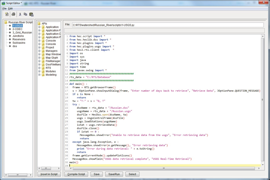
Figure 10.4 Script Editor – USGS Script
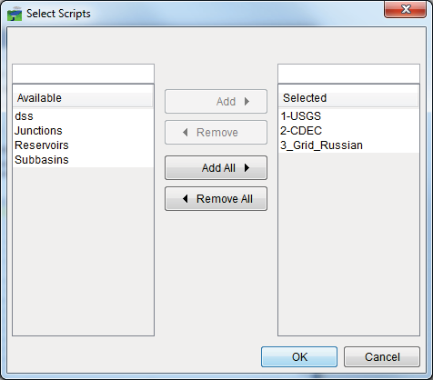
Figure 10.5 Add Button for Script to Acquisition Tab
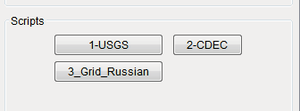
Figure 10.6 Scripts Panel
This script will bring up the following dialog and ask for the number of days back to retrieve data for (Figure 10.7).
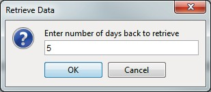
Figure 10.7 Script Data Retrieval
The script will access the USGS NWIS database and save data in the HEC-DSS file specified in the script. Run the script to verify it works. (Note, the first time the script is run, Jython will parse it causing a short delay.)
HEC-RTS contains similar plug-ins to the USGS plug-in that are used in a similar way to retrieve data.
At a later state, the user may wish to run "DATCHK" as part of the script to validate data and assign quality to each value, which shows up as quality-indicative colors on the quality color bars. DATCHK is included with the HEC-RTS package, but will not be describe in this manual. Refer to the DATCHK documentation that is provided with the HEC-RTS install.