In this tutorial group, you will be working with a terrain model of the Mahoning Creek watershed. The terrain data was downloaded from the USGS National Map Viewer. After the data was downloaded, it was projected to the Albers Equal Area projection, the horizontal units were set to feet. The terrain data was checked for any missing data grid cells and the vertical units were set to feet with the Raster Calculator. Additional GIS layers obtained for this example include a topographic map, a shapefile showing published streams, and shapefiles showing USGS stream gage and precipitation gage locations. These GIS layers are also set to the Albers Equal Area projection with horizontal units of feet.
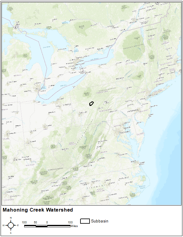
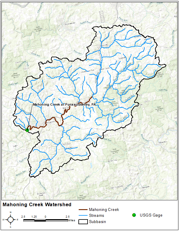
The Mahoning Creek watershed at Punxsutawney, PA is part of the Allegheny River Basin located in western Pennsylvania. The primary conveyance system of this 158 sq. mi. watershed includes the following streams: Stump Creek, East Branch Mahoning Creek, and Mahoning Creek. The confluence of Stump Creek and East Branch Mahoning Creek is located east of the enclave of Big Run. Mahoning Creek is downstream of the confluence. The watershed will be modeled as 3 subbasins. The figures below show the study area.