Overview
In this tutorial group, you will learn how HEC-HMS is structured, and you will learn fundamental mechanics of the program including creating data sets, computing simulation runs, and viewing results. This tutorial will provide you with the necessary background for subsequent tutorials.
This tutorial group includes the following components:
- Creating a New Basin Model
- Creating a New Meteorologic Model
- Creating New Control Specifications
- Creating and Computing a Simulation Run
- Viewing Results
- Viewing Observed Flow
Background
The purpose of these grouped tutorials is to illustrate how to develop a simple HEC-HMS model from scratch. The defined procedure does not make use of the GIS capabilities within HEC-HMS; the procedure shows how to create a non-georeferenced project. This tutorial group is broken up to show how to create a basin model, create a meteorologic model, create a control specification, create a simulation run, and how to visualize model results.
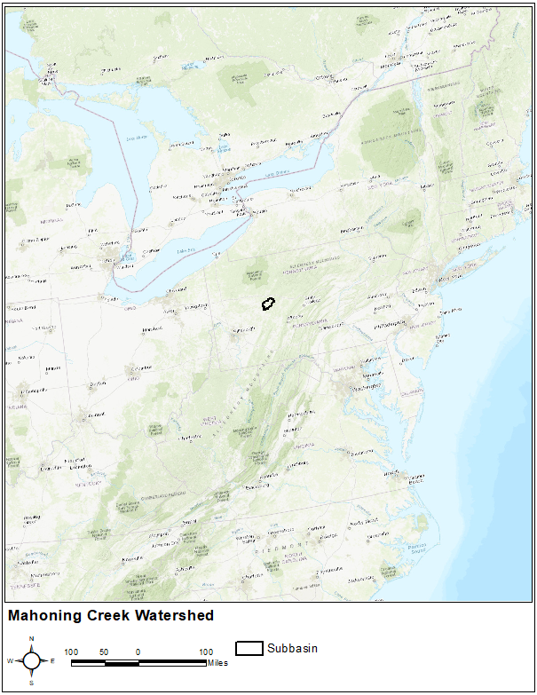
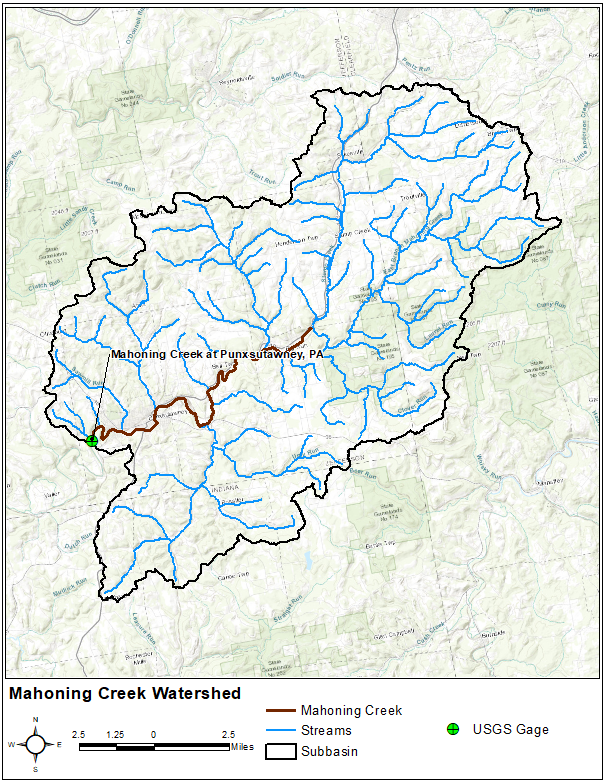
The Punxsutawney watershed, a part of the Allegheny River Basin located in western Pennsylvania, is used for this and subsequent tutorials in this course. The primary conveyance system of this 158 sq. mi. watershed includes the following streams: Stump Creek, East Branch Mahoning Creek, and Mahoning Creek. The confluence of Stump Creek and East Branch Mahoning Creek is located east of the enclave of Big Run. Mahoning Creek is downstream of the confluence.
Storm events in April 1994, May 1995, and May 1996 in this region are considered in this model. A number of recording rainfall and stream flow gages in the region will be useful in modeling the basin response to various ranges in rainfall intensity. The watershed will be modeled as 3 subbasins with incremental precipitation from recording rainfall gages; user-specified gage weighting and inverse-distance weighting methods will be used. Initial subbasin and reach parameters will be computed based on measured physical parameters and maps, where available, and qualitative engineering judgment with emphasis on local knowledge of the region.
Initial modeling parameters will be refined through several calibration runs. After the calibration stage, the model will adopt hydrologic parameters based on how well the simulated results reconstitute observed flow hydrographs. The rectangular box in the first figure shows the study area location. The second figure shows the study area including Stump Creek, East Branch Mahoning Creek, and Mahoning Creek at the town of Punxsutawney.
Continue to Creating a New Basin Model