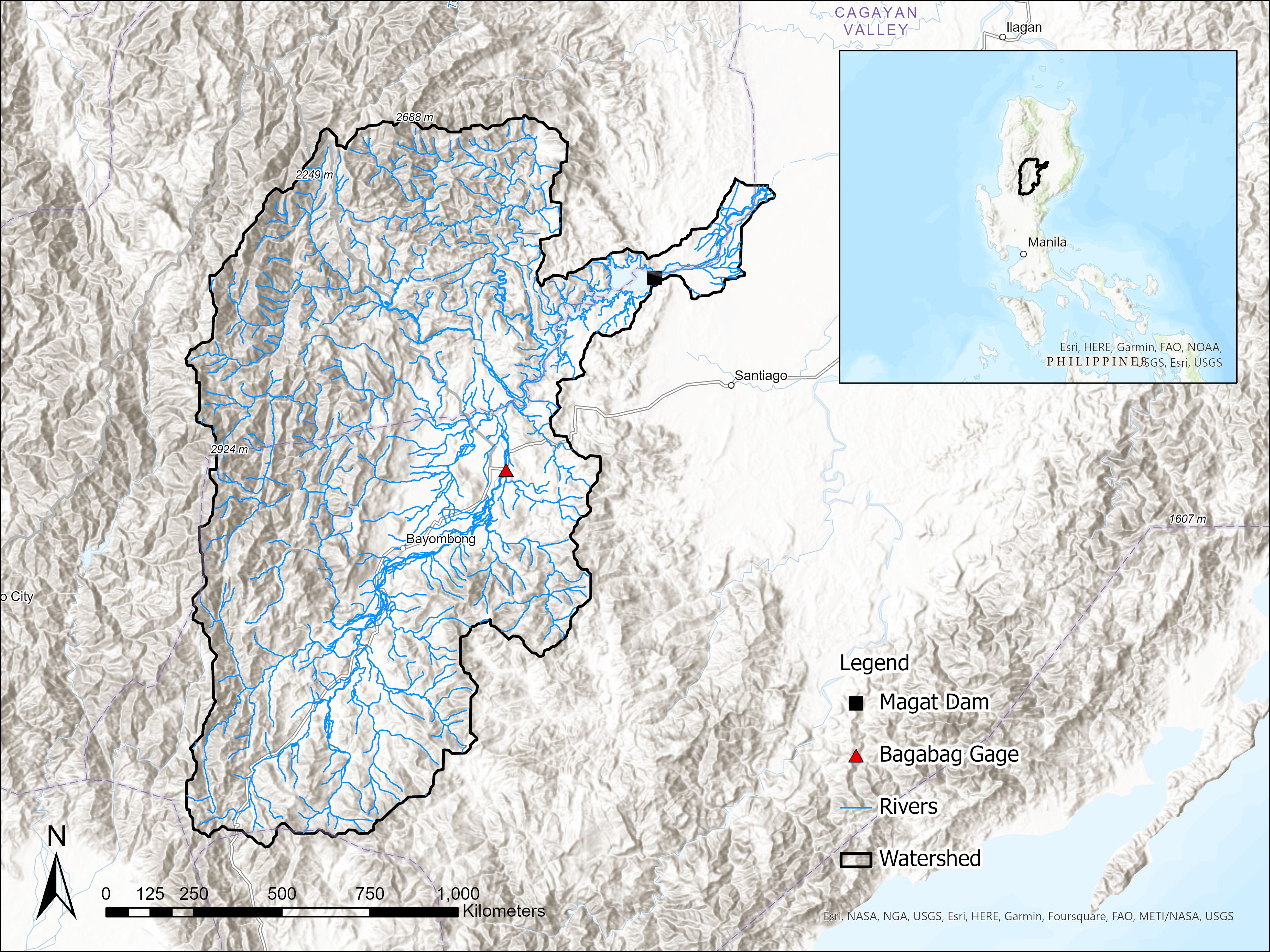
In this example we will develop a forecast for inflows to the Magat Dam. The Magat Dam impounds flows from the Magat River, the largest tributary by discharge to the Cagayan River on the Philippine island of Luzon. The drainage area above the Magat Dam is approximately 4000 square kilometers (1500 square miles). The Magat Dam is a multipurpose dam and provides irrigation, flood risk management, and power generation benefits. The Magat Dam has recently come under scrutiny for potentially amplifying flooding during Typhoon Ulysses in November 2020.