HEC-GeoEFM provides three primary capabilities for users planning ecosystem restoration projects or water management scenarios: 1) management of spatial data sets, 2) computation and comparisons
of habitat areas, and 3) assessment of habitat quality, connectivity, and functionality.

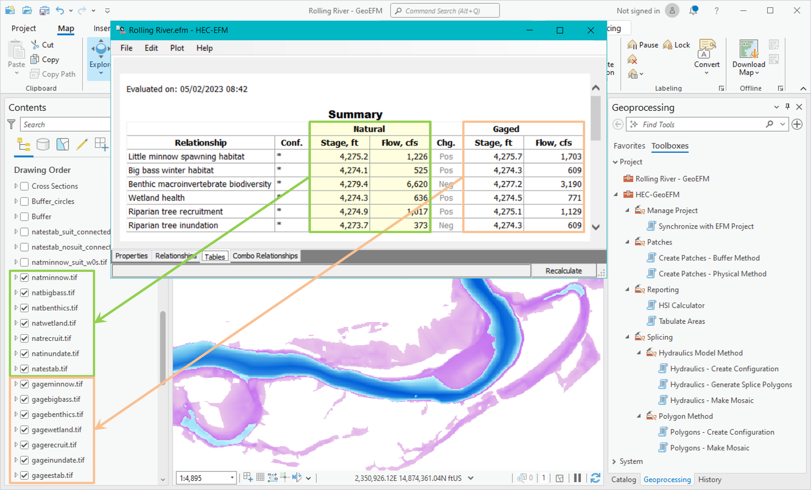
Use of HEC-GeoEFM requires a solid understanding of HEC-EFM. HEC-EFM is a planning tool that helps analyze ecosystem response to changes in the flow regime of a river or wetland. The process of
applying HEC-EFM involves three basic phases: statistical analyses, river hydraulics modeling, and spatial analyses. Results from the statistical phase are input to external hydraulic models
that generate layers of water depth, velocity, and inundation, which are then used in GIS to investigate spatial criteria and results for the flow regimes and relationships. HEC-GeoEFM is used
in the third and final phase (spatial analyses) of the HEC-EFM process.
HEC-GeoEFM was developed by the Hydrologic Engineering Center (CEIWR-HEC) and the Environmental Systems Research Institute, Inc. (ESRI), in recognition of both the
power of GIS and the importance of ecological considerations in water systems.
HEC-GeoEFM has been certified for use in USACE Planning Studies (HQ Certification memo) as
recommended by the National Ecosystem Restoration Planning Center of Expertise (Recommendation memo) as being sound in
contemporary theory, computationally correct, and compliant with USACE policy.