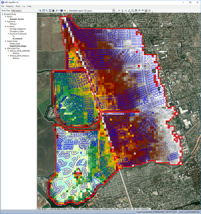
 The Geospatial Preprocessor for Flood Damage Reduction Analysis (HEC-GeoFDA) program was developed to allow users to view geospatial flood risk management (FRM) study data and simplify tasks that are commonly
performed to prepare data for use in the Flood Damage Reduction Analysis (HEC-FDA) program. Some of these tasks involve the translation of two-dimensional hydraulic data into a format that HEC-FDA understands.
Other tasks involve defining the relationships between various forms of spatial data used in FRM studies, such as structure locations and ground elevations at those locations in a terrain file. The HEC-GeoFDA
software has been built with the specific needs of FRM teams in mind. It is intended to make geospatial pre-processing a more intuitive and less error prone process for these users. As the geospatial data is
manipulated and viewed, user understanding of the interaction between data elements is built naturally. This understanding leads to better water resource solutions, while also hopefully saving teams’ time and money.
The Geospatial Preprocessor for Flood Damage Reduction Analysis (HEC-GeoFDA) program was developed to allow users to view geospatial flood risk management (FRM) study data and simplify tasks that are commonly
performed to prepare data for use in the Flood Damage Reduction Analysis (HEC-FDA) program. Some of these tasks involve the translation of two-dimensional hydraulic data into a format that HEC-FDA understands.
Other tasks involve defining the relationships between various forms of spatial data used in FRM studies, such as structure locations and ground elevations at those locations in a terrain file. The HEC-GeoFDA
software has been built with the specific needs of FRM teams in mind. It is intended to make geospatial pre-processing a more intuitive and less error prone process for these users. As the geospatial data is
manipulated and viewed, user understanding of the interaction between data elements is built naturally. This understanding leads to better water resource solutions, while also hopefully saving teams’ time and money.